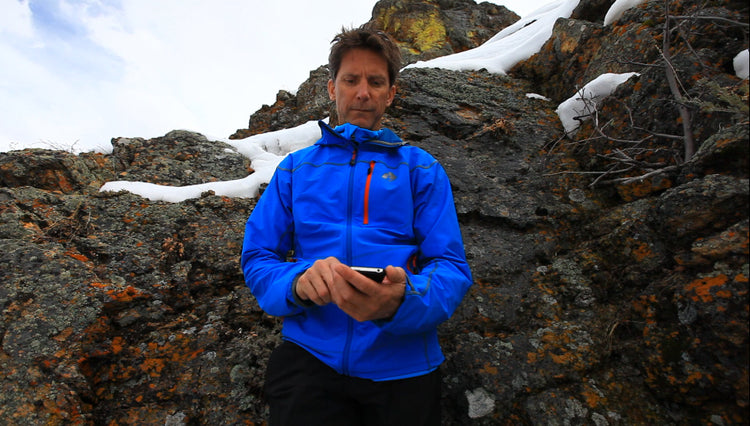
Mountaineers may seek the solitude of the mountains to escape modern life, but that doesn't mean they leave their smartphones behind. Today, a wide range of apps cater to mountaineers, offering valuable tools for safety, navigation, and entertainment while exploring the great outdoors. In this article, we've curated a list of the best mountaineering apps that every climber should consider. Whether you're looking for weather forecasts, route planning, or even a digital journal for your adventures, these apps have got you covered.
FATMAP
Price: Free, $29.99 a year
Platform: iOS/Android
FATMAP is an indispensable tool for mountaineers, offering a detailed 3D global map that facilitates precise route planning and exploration. This community-driven app provides access to routes shared by experienced guides and outdoor enthusiasts. It boasts high-resolution offline maps, ensuring reliable navigation in areas with no internet coverage. FATMAP's social features enable users to record, share, and explore mountain adventures, making it an essential digital companion for mountaineers.
Ramblr
Price: Free
Platform: iOS/Android
Ramblr is the mountaineer's activity tracker, a bit like Strava but designed for mountaineers. Track crucial stats such as distance, speed, and elevation, even if you don't have a dedicated device like a Garmin watch. Ramblr also doubles as a digital journal, allowing you to upload notes and images after your climb. It's versatile, letting you create routes on your desktop and use them on your smartphone, although we recommend FATMAP for navigation purposes.
OpenSummit
Price: Free, $29.99 a year
Platform: iOS/Android
When it comes to mountain-specific weather forecasting, OpenSummit is the go-to app. It provides hourly forecasts for your precise mountain location and elevation, not just nearby towns. The app uses color-coded data to offer insights into precipitation, lightning, temperature, and wind forecasts. With detailed hourly maps, you can plan ahead, with up to two days of weather data available (five days with the paid version). OpenSummit also estimates trail conditions based on recent weather, helping you choose the right footwear for your adventure.
If you're planning at home, be sure to check out Windy.com, a favorite of the guides over at RMI. Great for tracking incoming storms, or even for forecasting air quality (a big issue in the PNW during fire season) Windy.com also has a mobile app. There is a free to use version, or a pro version for $29.99 a year.
Cairn
Price: Free, $26.99 a year
Platform: iOS/Android
Cairn is an app every mountaineer should carry, with features designed for safety and peace of mind. Originally focused on providing data on cell reception in the backcountry, Cairn now includes "just in case" functionalities. If you're overdue from a trip, Cairn automatically informs your emergency contacts about your status and offers guidance on contacting search and rescue. This app works irrespective of cell service availability. Additionally, Cairn's open-source service maps are perfect for sharing your adventures on social media. The Premium version offers features like real-time location sharing, automatic overdue alerts, and the ability to download maps for offline use worldwide.
American Red Cross First Aid App
Price: Free
Platform: iOS/Android
The American Red Cross First Aid app is a valuable addition to your mountaineering toolkit. While it doesn't replace formal first aid training, it serves as a handy on-the-go reference. The app offers downloadable content that's accessible offline, providing a wealth of information. It includes interactive quizzes to reinforce your knowledge of important first aid procedures.
Packing Pro
Price: $2.99
Platform: iOS
Packing Pro might not win any design awards, but it's a must-have for organized climbers and trip leaders. This iOS-exclusive app allows you to create comprehensive packing lists for both yourself and your group members. You can add details like item weight, cooking instructions, trip type, and more to keep your gear and supplies organized.
The Dyrt
Price: Free, $29.99 a year
Platform: iOS/Android
When your mountaineering adventure requires a basecamp, it's essential to ensure you're not camping on private land. The Dyrt is the perfect app for this, enabling you to overlay maps with BLM, National Forest, and National Park boundaries. With over 50,000 campsites listed, it simplifies camping logistics for your climbing expeditions.
Peak Visor
Price: Free, $29.99 a year
Platform: iOS/Android
Ever gazed at a peak and wondered about its name? Peak Visor uses augmented reality (AR) to provide real-time information about the peaks you're looking at. By simply pointing your phone's camera, this app identifies and provides details about the mountain in your view. It's a convenient alternative to trying to align your friend's gaze with your finger.
Animated Knots by Grog
Price: $4.99
Platform: iOS
For climbers in need of a comprehensive knot tying resource, Animated Knots by Grogg is your pocket companion. Organized by activity and knot type, this app features over 195 knots, including those relevant to climbing, rope care, camping, and search and rescue. If the knot you require isn't in this app, it might just be a figment of your imagination.
Modern mountaineering embraces technology, and these top mountaineering apps are essential tools for climbers. They cover everything from precise route planning and activity tracking to real-time weather forecasts and safety features, ensuring mountaineers can explore with confidence. If you have questions or more app suggestions, don't hesitate to share them in the comments below.
As always,
Happy Climbing!


