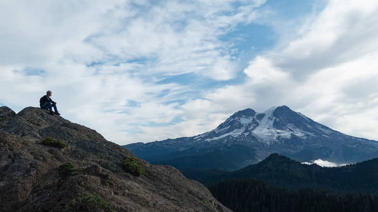
Mount Beljica
Pass/Permit: Northwest Forest Pass for Parking
Length: 3.0 Miles
Elevation: 1056 ft gain, 5469 ft high point
Difficulty: Medium/Easy
Note: FR 59 is currently washed out, but access with bikes or by foot is possible.
Description
With incredible views of Rainier, old growth forests, and beautiful a beautiful lake to boot, this hike is perfect for a family outing (including the dog) without waiting in long lines and paying entrance fees for the National Park! From the trailhead at the end of Forest Road 5920, the trail climbs steeply for 0.8 miles, but flattens out as it reaches Lake Christine. The main trail wraps around the lake to the east, and at 1.2 miles reaches a junction. Head left here, climbing for another 0.25 miles before opening up into a rocky clearing, your summit and one of the best views of Rainier possible! The true summit of Mount Beljica is just a bit further, but is rocky and exposed, so be sure to keep an eye on kids and dogs.
Directions/ Road Conditions
From Ashford, drive Hwy 706 east for 3 miles. Keep an eye out for FR-59; if you pass Copper Creek Inn and Restaurant, you’ve gone 0.2 miles too far. Travel 2.7 miles on NF-59 until you hit NF-037, then take a sharp left. 1.5 miles later, take a sharp right onto NF-5920, which you will stay on for another 1.5 miles until you reach the trailhead. There are no bathrooms at the trailhead, so be sure to stop in Ashford before you head up!
Coordinates: 46.7734, -121.9446
See recent trail reports: https://www.wta.org/go-hiking/hikes/mount-beljica


