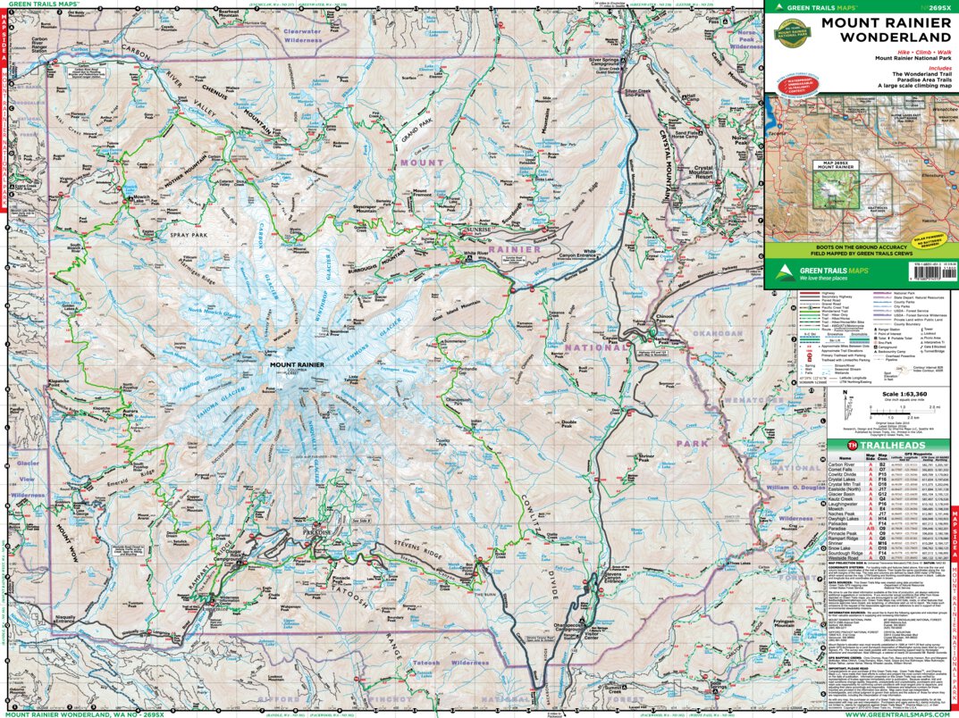
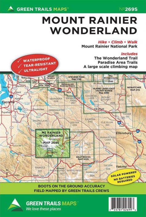
The Green Trails Mount Rainier Wonderland Map is an ultra light, waterproof, and tear-resistant map that will help you navigate the Wonderland Trail in Mount Rainier National Park. With highways, roads, trails, contours, and much more clearly indicated, the Mount Rainier Wonderland Map is essential for hikers exploring this region of Mount Rainier National Park.
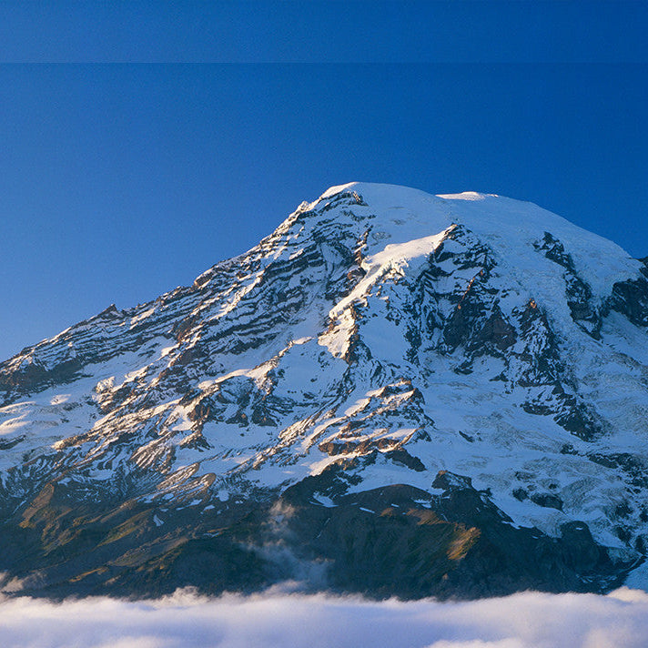
Whether exploring Washington’s grand volcano and highest peak for a quick day trip, a multi-day backpacking adventure, or climbing to its 14,411-foot summit; this map is a must. Comprehensive in its scope, Map 269S contains every trail within the 235,000-acre Mount Rainier National Park. This map is integral too if you are planning on hiking the classic 93 mile round the mountain Wonderland Trail. Campsites are prominently and accurately shown as well as cultural and natural highlights along the trail. Map also includes a profile of the elevation gained and lost on this trail. 269S also contains a detailed large scale map of the volcano highlighting the Paradise Valley and the mountain’s numerous climbing routes. Map scale 1:63360 with 80 foot contours for complete map area. Mt Rainier climbing route map scale at 1:24000 with 20 foot contours.
Original Issue : 2010Scale : 1:63,360/1:24,000
Projection : Varies
UTM Zone : 10
Datum : NAD83
Sheet Size/Type : 22.5x30 Inch
Folded : 6x9 Inch
Description
Don't Get Lost Out There
The Green Trails Mount Rainier Wonderland Map is an ultra light, waterproof, and tear-resistant map that will help you navigate the Wonderland Trail in Mount Rainier National Park. With highways, roads, trails, contours, and much more clearly indicated, the Mount Rainier Wonderland Map is essential for hikers exploring this region of Mount Rainier National Park.
Details/Features
Whether exploring Washington’s grand volcano and highest peak for a quick day trip, a multi-day backpacking adventure, or climbing to its 14,411-foot summit; this map is a must. Comprehensive in its scope, Map 269S contains every trail within the 235,000-acre Mount Rainier National Park. This map is integral too if you are planning on hiking the classic 93 mile round the mountain Wonderland Trail. Campsites are prominently and accurately shown as well as cultural and natural highlights along the trail. Map also includes a profile of the elevation gained and lost on this trail. 269S also contains a detailed large scale map of the volcano highlighting the Paradise Valley and the mountain’s numerous climbing routes. Map scale 1:63360 with 80 foot contours for complete map area. Mt Rainier climbing route map scale at 1:24000 with 20 foot contours.